Historical Maps
To see a larger map of the area by Taylor and Skinner 1777 click on the map above (opens in a new tab)
Discover the history of Moira, County Down

To see a larger map of the area by Taylor and Skinner 1777 click on the map above (opens in a new tab)

Waringfield House As one travelled out of the village in the direction of Magheralin, there stood Waringfield House, another notable Georgian building. It was the residence of the Waring family who in 1876 owned more than two thousand acres at Read More …

Mr Mac says, “Keep our village tidy; never drop litter on the ground.”

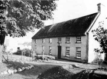
Moira today still has many buildings that give us a flavour of our village nearly 300 years ago. The earliest Moira building that still exists is Berwick Hall, the two storey “Planters” thatched house on the Hillsborough Road. This dates Read More …
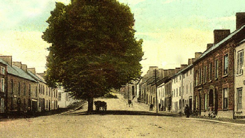
The north wind blew up Main Street in Moira. It was a cold Wednesday in March 1834. Trading was drawing to a close and most people were ready for home. Tethered horses whinnied softly as they waited impatiently to be Read More …

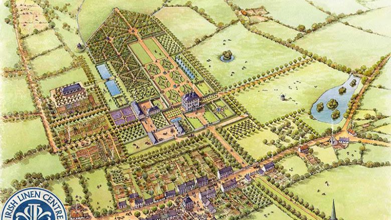
This is not a historic image per se but a wonderfully researched and illustrated view of how Moira looked in the past. It is a painting by Philip Armstrong “Using the combined expertise of consultants and watercolour art style, I Read More …